What are all the routes?


Note: Tap on the map above and then tap the expand button which is located underneath it to open the full sized map.
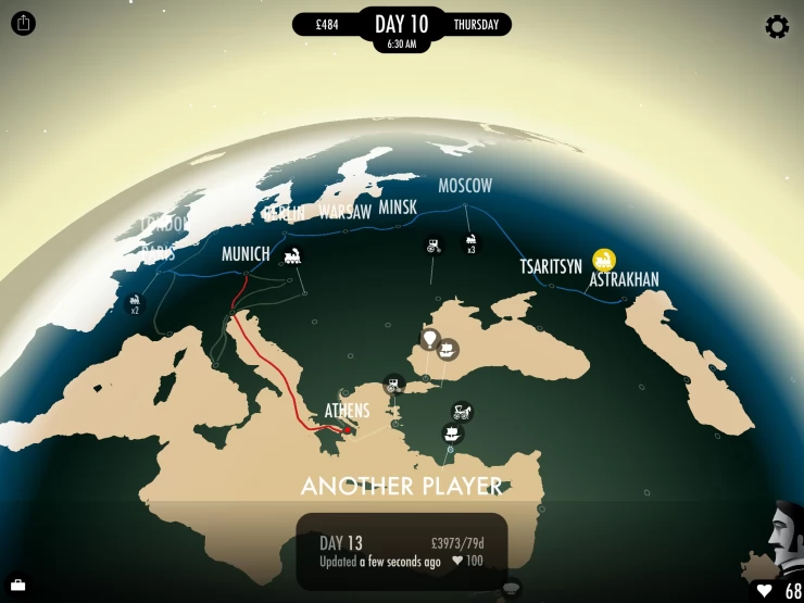
The map above shows all the routes that are available to you in the game. Although liberties have been taken with some of the cities to simplyfy things you will find that the map roughly follows their relative locations in real life. Your starting point is London which can be found near the upper portion of the whole map.
Just like any world map would this guide map wraps around horizontally at the edge. For easy reference you will be able to find the cities at the far right (Anchor cities in the Americas for all trans-Pacific routes: San Francisco, Acapulco, Panama City, Lima, Machu Picchu, Santiago) also on the far left as well.
The different routes on the map are indicated by various arrows which indicate the direction you can travel to that particular city. Uni-directional arrows (e.g. between London and Paris) mean it is only possible to travel along the direction shown while Bi-directional arrows (between Berlin and Copenhagen for example) mean it is possible to travel either way along the same route. Splitting arrows (from Copenhagen to Stockholm or Helsinki for example) mean it is possible to travel to either destinations directly without having to stop in another city.
On routes that have splitting arrows your destination may not be immediately available to you when you discover the route and you may be required to perform some kind of task to change your course, an example of this is negotiating or bribing the captain of the vessel you are travelling in. When you are on a route with splitting arrows always follow lines and branches that forms a wide angle with each other (angles wider than a right angle). Routes with dotted arrows are revealed upon exploration but do not exist and cannot be accessed and you will be diverted to another location. An example of this is Krasnovodsk to Merv.
Due to the complexity of some connections,you will find that more than one arrow group has been used to represent the links between 2 or more cities. Routes that cross each other (forming an 'X') will never connect together, regardless of their colour. On the map routes of the same colour will always cross in near right angles, this has been done to make things clearer.
The colour of the arrows represents the form of transportation involved, on routes where the mode of transport may suddenly change during the journey the colour for the most memorable mode of transport has been used.
Red: Train routes
Green: Land routes
Violet: Air routes
Blue: Sea routes
Yellow: Routes for one reason or another that cannot be properly categorized
How do you keep Phileas Fogg Healthy?Previous Page
What is the objective of the game?
Anything missing from this guide?
ASK A QUESTION for 80 Days (2014)
Comments for What are all the routes?
Add a comment
Please log in above or sign up for free to post comments- Introduction
- What is the objective of the game?
- What are all the routes?
- How do you keep Phileas Fogg Healthy?
- How do you Buy and Sell Goods?
- How do you complete the Polar Expediton?
- How do you solve the Murder of Madame Shu
- How do you solve the Black Rose mystery?
- How do you complete the Ruins Of Belgrade?
- Questions & Answers
 Join us on Discord
